
Living in Milton-Parc
The neighbourhood students call the McGill Ghetto.
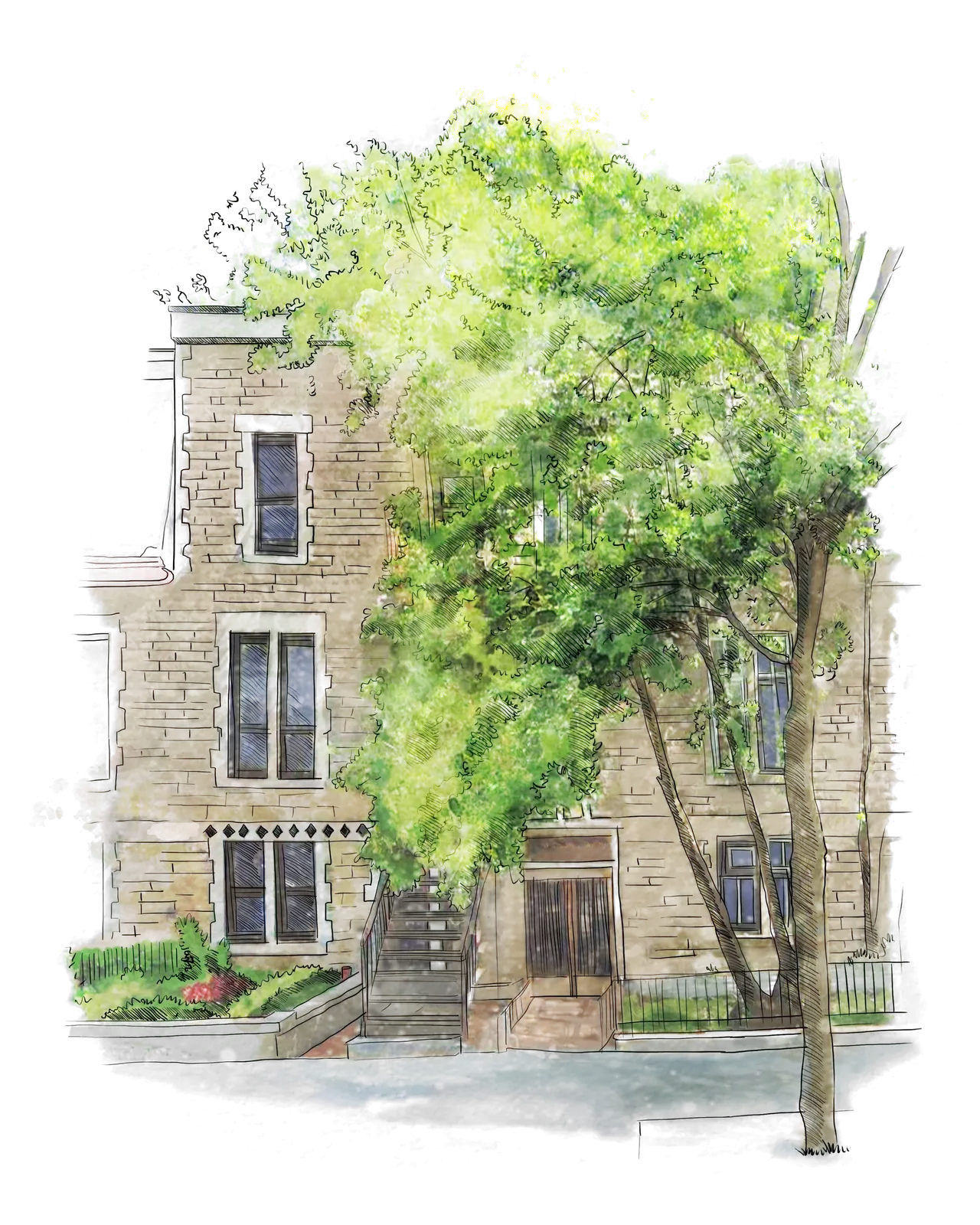
Milton-Parc is the small grid of Victorian-era streets between McGill University, Avenue du Parc, Rue Sherbrooke and the slopes of Mount Royal. Students call it the McGill Ghetto; locals know it as one of the most walkable neighbourhoods in Montréal.
In the 1970s, residents fought a large demolition project that would have replaced these greystones with towers. They won, and the neighbourhood became home to one of the largest non-profit housing co-operative communities in Canada. The same streets still look much as they did a century ago.
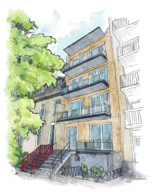
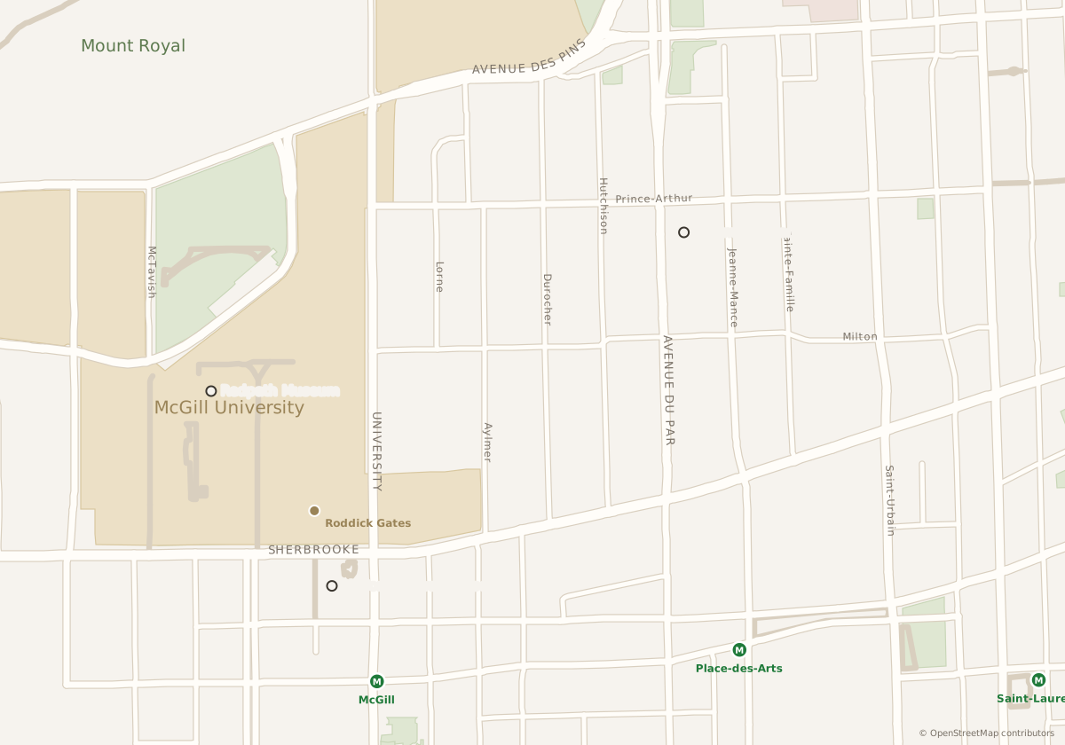 1 3436 Aylmer5 min 2 3566 Lorne8 min 3 3417-25 Sainte-Famille10 min 4 3549-51 Sainte-Famille12 min 5 3675-81 Sainte-Famille15 min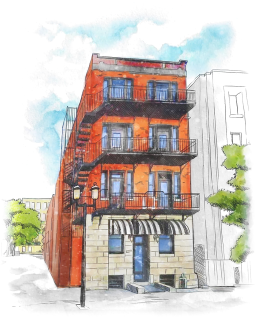
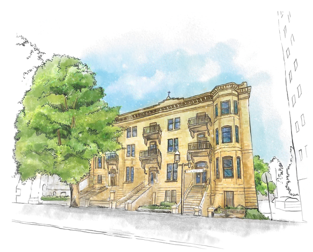
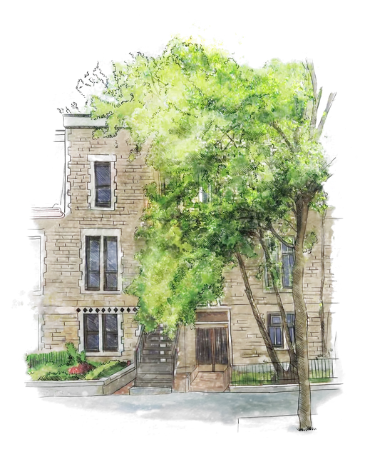
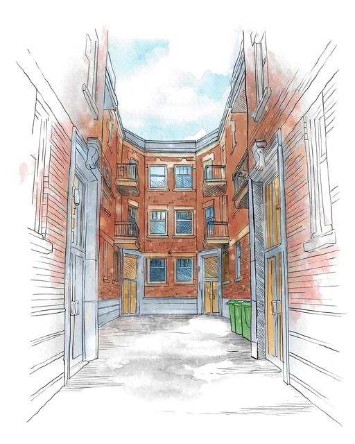
Our buildings, with minutes on foot to Roddick Gates (McGill) Nearby places. Hover or tap a building to see the walk.
Campus at the door
McGill's Roddick Gates are five to fifteen minutes on foot from anywhere in the neighbourhood. Most students walk to class, and the libraries, labs and the music faculty are all within a few blocks.
Mount Royal as a backyard
Avenue du Parc and Parc Jeanne-Mance mark the edge of Mount Royal. Joggers, picnics in summer, and sledding and skating in winter are a short walk away.
Streets to know
Rue Milton and Rue Prince-Arthur have cafés, groceries and inexpensive restaurants. Boulevard Saint-Laurent and the Plateau are a few minutes east, and downtown, Place-des-Arts and the Quartier des spectacles a few minutes south.
Metro, bus and bike
Two green-line metro stations, McGill and Place-des-Arts, are within walking distance, along with bus routes on Avenue du Parc. BIXI bike stations are on most corners in season.
Our buildings in Milton-Parc
Other neighbourhoods